ChuckwillOkefenokee Stories Open the map
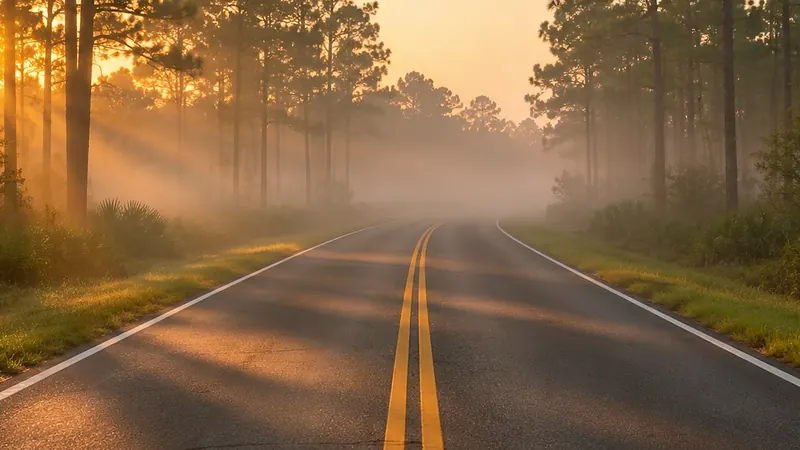
A two-lane road into morning fog between pines
Driving tour ยท On the road

Toward Fargo and the west entrance

Fargo, toward Okefenokee State Park · 0:24

0:00 / 0:24
Toward Fargo and the west entranceOpen the map
What Rodney says

Now we come around to the west side of the swamp. Most visitors come in at the east and west entrances. Fargo sits on the Suwannee River, about nineteen kilometers downstream of the swamp. The Suwannee is the swamp's main outlet. About eighty-five percent of the surface water leaves that way. From the swamp, it runs about two hundred thirty-five miles to the Gulf of Mexico.
Fargo
Where it is

Fargo

On the map at Fargo, toward Okefenokee State Park. Turn on Follow me and it plays when you get there.

10 of 15 · Driving Tour
Open the map →
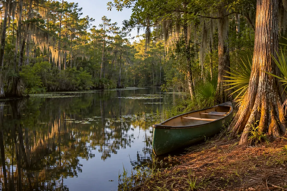
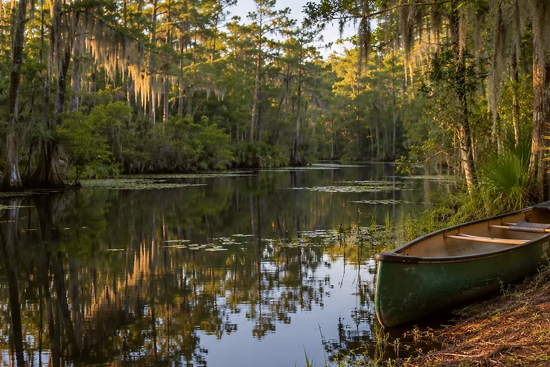
A quiet water trail with a canoe pulled up under cypressNext on the driveWest entrance, Okefenokee State ParkOkefenokee State Park, west entrance · 1:02Listen →
Also at this place
All 15 stops in Driving Tour
  1. Before you leave the depot
  2. Folkston depot and the Folkston Funnel platform
  3. Folkston to Traders Hill
  4. Traders Hill, the old river port on the Saint Marys
  5. Traders Hill to the east entrance
  6. East entrance, Suwannee Canal Recreation Area
  7. Chesser Island: Wildlife Drive, the homestead, the boardwalk
  8. The drive west: Homeland
  9. The drive west: Saint George
  10. Toward Fargo and the west entrance
  11. West entrance, Okefenokee State Park
  12. The Suwannee River Sill
  13. Around to Waycross
  14. North entrance, Okefenokee Swamp Park near Waycross
  15. End of the drive

All of Driving Tour →