ChuckwillOkefenokee Stories Open the map
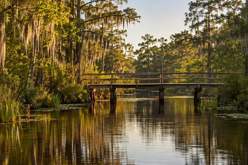
A slow dark river with a low wooden structure over it
Hiking ยท Suwannee River Sill walk

Suwannee River Sill walk: the bridge and spillway

The bridge and spillway · 0:39

0:00 / 0:39
The bridge and spillwayOpen the map
What Rodney says

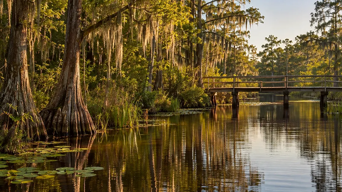
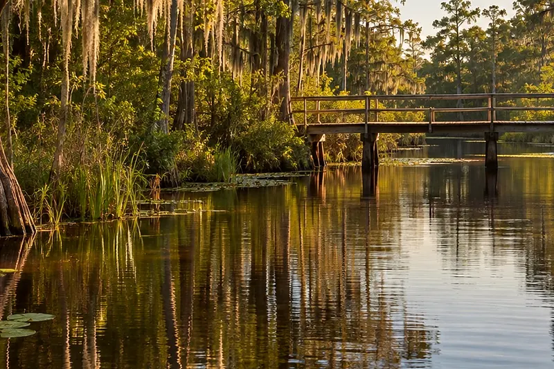
You are at the bridge and spillway. Here the water empties from the swamp into the main channel head of the Suwannee River. Cypress stands draped in Spanish moss line the beginning of the channel.

About eighty-five percent of the swamp's surface water leaves by the Suwannee. From here the river runs about three hundred seventy-eight kilometers, roughly two hundred thirty-five miles, to the Gulf of Mexico. The Nomination Text says the Sill never served its purpose. It calls building the Sill misguided. The refuge breached it in three places in twenty ten to bring back the natural flow. The Suwannee, from the swamp to the Gulf, is now unimpeded.
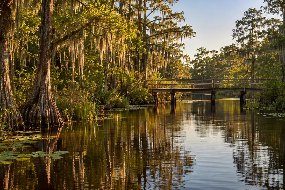
The bridge and spillway
Where it is

The bridge and spillway

On the map at The bridge and spillway. Turn on Follow me and it plays when you get there.

3 of 4 · Suwannee River Sill walk
Open the map →
A slow dark river with a low wooden structure over itNext listenBeyond the bridgeBeyond the bridge · 0:35Listen →
Also at this place
Suwannee River Sill walk
  1. The start of the Sill walk
  2. Why the Sill was built
  3. The bridge and spillway
  4. Beyond the bridge

All of Hiking Trails →