ChuckwillOkefenokee Stories Open the map
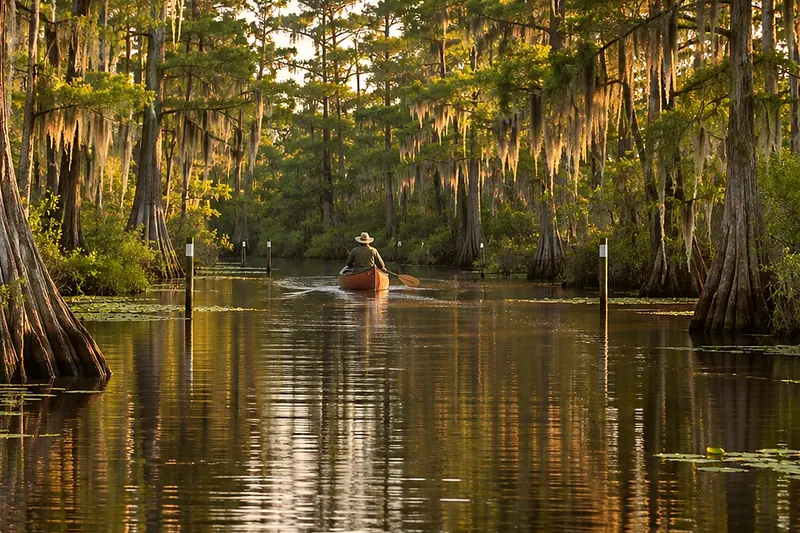
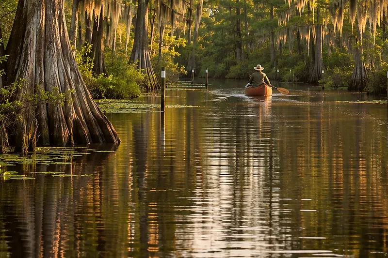
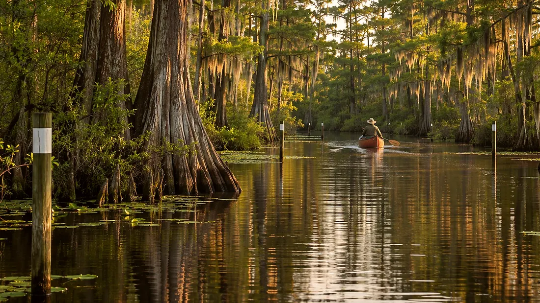
A canoe far down a narrow water trail between cypress
Paddling ยท Orange Trail

Orange Trail: Canal Run toward Billys Island

Orange Trail: Canal Run toward Billys Island · 0:31

0:00 / 0:31
Orange Trail: Canal Run toward Billys IslandOpen the map
What Rodney says

From here the Orange Trail gets harder. It turns narrow and winding for five miles to Billys Island. In low water, expect stumps, peat blowups, and brush. You may have to get out and push across peat blowups, shallow water, or trees. Floating peat islands break loose from the peat below when methane gas builds up or the water rises. Never stray off the marked trail. Cell service is inconsistent, so don't count on your phone. Billys Island, ahead, was once a logging camp that held six hundred people.
Orange Trail
Where it is

Orange Trail: Canal Run toward Billys Island

On the map at Orange Trail: Canal Run toward Billys Island. Turn on Follow me and it plays when you get there.

6 of 8 · Orange Trail
Open the map →
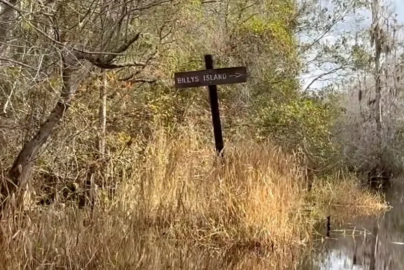
The Billys Island sign on the way inOur own photoNext listenOrange Trail: Billys IslandBillys Island · 0:30Listen →
Also at this place
Orange Trail
  1. Orange Trail: the boat ramp at Suwannee Canal Recreation Area
  2. Orange Trail: down the Suwannee Canal toward Coffee Bay
  3. Orange Trail: Coffee Bay shelter
  4. Orange Trail: Coffee Bay toward Canal Run
  5. Orange Trail: Canal Run
  6. Orange Trail: Canal Run toward Billys Island
  7. Orange Trail: Billys Island
  8. Orange Trail: Billys Lake and Okefenokee State Park

All of Paddling Trails →